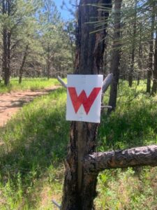
The maps below are georeferenced pdf files suitable for use with the Avenza Maps app. The first uses a USGS topo map as the background, the second uses satellite imagery as the background; other than that, they are identical. You can either link to them directly from their location here, or download them and add them to Avenza through iTunes (or the equivalent for non-Apple phones). With Avenza and one of these background maps pre-loaded into it, you will be able to see where you are on course (or not on course) using your phone’s GPS, even if you do not have a cell signal. The Avenza app is free to download and use (some maps from the Avenza store cost money, but you will be able to use these course maps free of charge).
Instructions to link through the Avenza app:
- Download and open the Avenza app.
- Click on the “My Maps” tab at the bottom of the screen.
- Click on the “+” sign at the top of the screen.
- Click on “Tap to enter a URL of a map” from the list of options.
- Copy and paste the URL of one of the maps below into the search bar and hit enter.
- The app should then automatically download the map into your “My Maps” page.
- Click on the map you just downloaded and it will open as your background map.
- Click on the pointer at the bottom left corner of the screen and it will center on your location (assuming you are somewhere within the boundaries of the background map). The app will automatically track your movement along the map.
NOTE: You MUST download the maps ahead of time, while you have a cell signal or wifi connection. The tracking functionality of the app works off of GPS, but you won’t be able to load any maps without some sort of data connection.


